Yellagonga Regional Park

The City of Joondalup is home to Yellagonga Regional Park, often called the Kings Park of the north. The park is best explored from the historic site of Neil Hawkins Park, situated only a short stroll from the Joondalup City Centre.

Yellagonga is Joondalup’s best hidden secret. Nature lovers can walk through the native bushland that surrounds the 16-km circuit around Lake Joondalup, home to wildlife such as long-necked turtles, frogs, kangaroos and a wide variety of birdlife.

Coastal walks and cycling trails

The City of Joondalup is privileged to have fantastic beaches, sunsets over the Indian ocean and many cycle paths that venture inland amongst nature reserves and for most of the 17 kilometres of pristine coastline.

Walk or cycle along the Sunset Coast

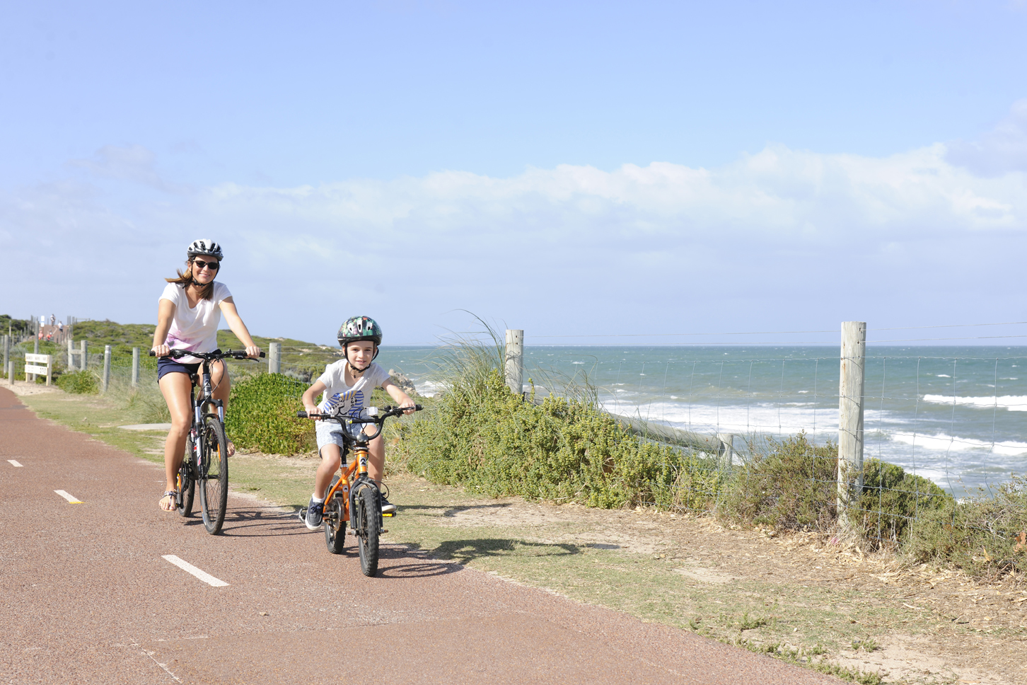
The Sunset Coast coastal path is an easy, half day family ride that runs from Marmion, south of Hillarys Boat Harbour to Burns Beach. Eleven interpretive signs along the path provide information on the native flora, fauna and history of the area.

The 14km trail encompasses Marmion Marine Park, a diving and snorkelling paradise, and Hillarys Boat Harbour with its cafes, shops, family friendly swimming beach and boats. Take the trail north to Burns Beach and weave through a natural coastline of bushland, alternating with fabulous coastal views.

Fishing areas, swimming beaches, lookouts, toilets, pubs, cafes, restaurants, kiosks and shops, can all be seen along this trail or alternatively via a nice drive all the way up the coast. Along the path flowering native plants, and animals such as the slow moving “bobtail” lizards and the tiny blue fairy wrens can often be spotted.

Whilst the trail can be started at either end, and accessed from any point, the official start is in the suburb of Marmion. Trail markers along the route provide distances to the next section. Please note that at many times of the year the prevailing wind makes riding north easier than riding south.

For more information visit Trails WA.

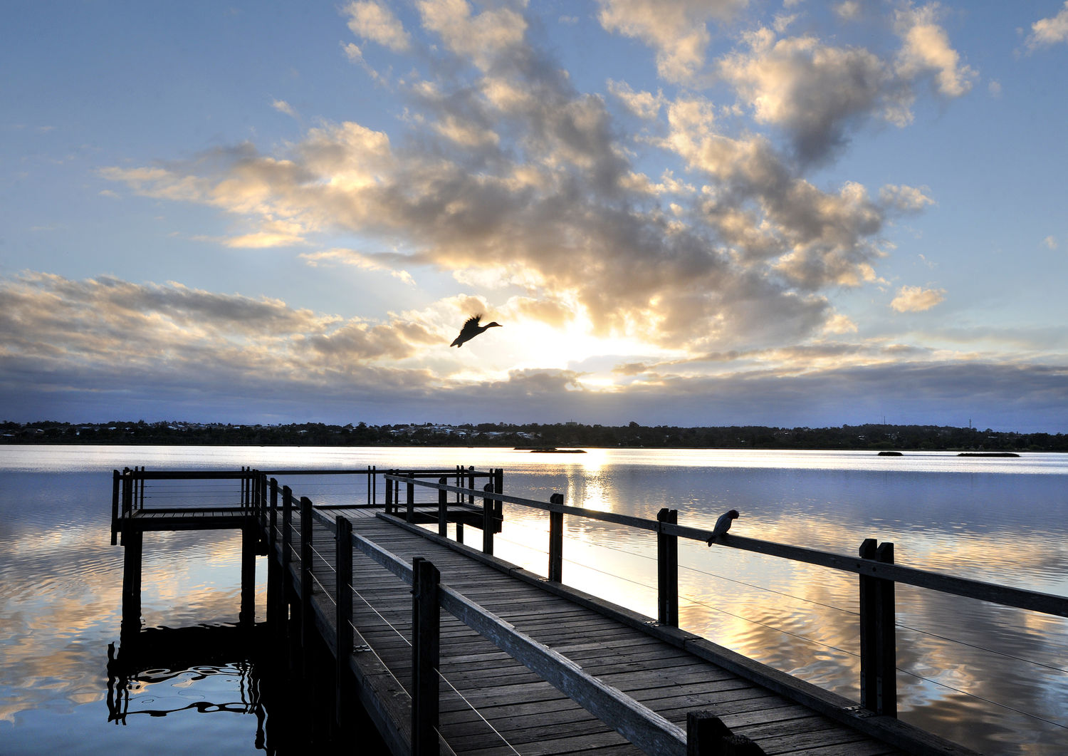
Discover Joondalup’s best hidden secret

Walk or cycle around Lake Joondalup and enjoy the beauty of Perth’s metropolitan bushland in Yellagonga Regional Park.

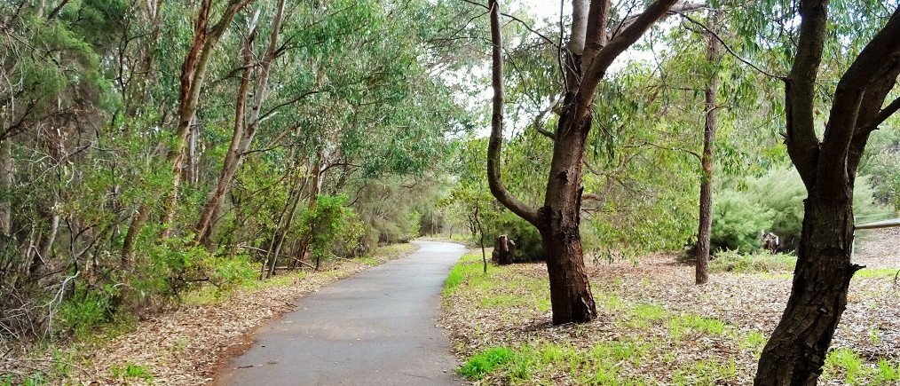
The 16km Lake Joondalup circuit is a well-developed family friendly path starting from the historic site of Neil Hawkins Park, situated only a short stroll away from the Joondalup City Centre.

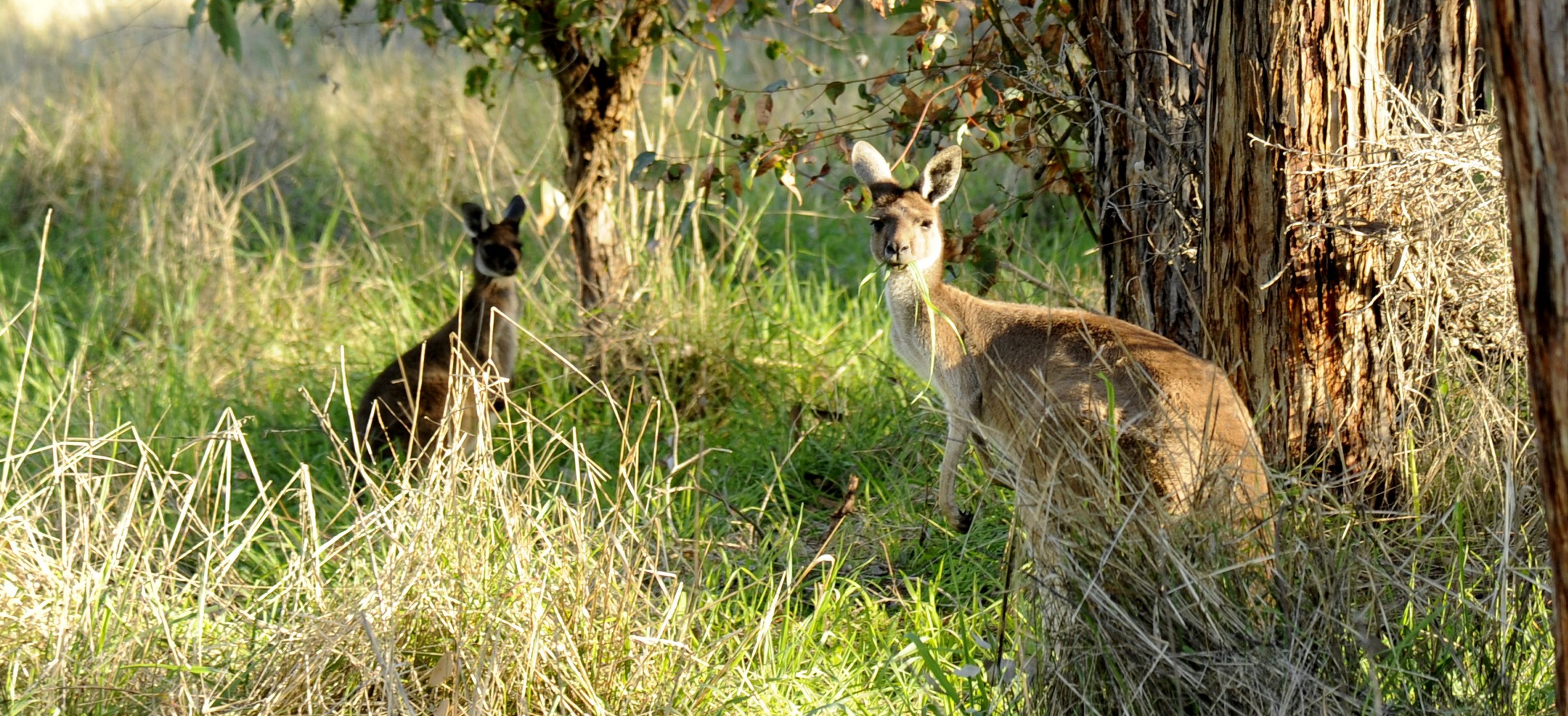
Make your way around the lake and enjoy the magnificent flora and local wildlife including kangaroos, long-necked turtles, and a variety of birds. The circuit takes you through magnificent panoramic lake views as well as various children’s playgrounds, picnic spots, and a boardwalk and lookout.

Yellagonga Regional Park is easily accessible by car and public transport. It is serviced by five train stations on the Joondalup line: Greenwood, Edgewater, Currambine, Joondalup and Whitfords.

Shared paths and footpaths

There are three types of footpaths within the City with these being:

  • Footpaths
  • Shared paths
  • Principal shared paths.

Footpaths

These types of paths tend to be narrower than the other paths and are installed by the City in residential streets. To report any issues contact the City.

Shared paths

These types of paths are wider and cater for higher volumes of pedestrians and cyclists and generally connect to train stations and major City infrastructure. To report any issues contact the City.

Principal shared paths (PSP)

The path system that runs along the Mitchell Freeway from Hester Avenue, Clarkson to the Perth CBD is managed by Main Roads WA. To report any hazards or concerns on this pathway network, contact Main Roads WA.

Pathway etiquette

Cyclists and pedestrians are permitted on footpaths and shared paths and both users have a responsibility to be considerate to other path users. The following etiquette should apply when using paths in the City of Joondalup:

  • Cyclists need to lower their speed on busy pathways.
  • Pedestrians need to be aware of their surroundings and if listening to music, not have it too loud so they can’t hear a cyclist’s bell.
  • Cyclists to ride in single file on a shared path or footpath.
  • Pedestrians – keep your dog on a short lead so they don’t stray into a cyclists path.
  • Cyclists are required by law to have a bell on their bike.
  • Pedestrians to move into single file to allow for cyclists to get past safely and easily.

These are just a few things to consider. The Department of Transport provides some useful information on walking and cycling.

Sustainable transport

The City encourages the use of sustainable transport for getting around. When you are out and about consider whether you can walk, ride a bike or catch public transport rather than drive.

The City’s Map Your Move and TravelSmart Guides include information on footpaths, bike paths and public transport routes to help you find your way around the City.

Bike riding

The City has developed a Bike Plan 2016 – 2021 which aims to make bike riding a part of everyday life in the City of Joondalup. The Plan guides how the City promotes, celebrates and supports bike riding so the City can achieve its vision of a bike friendly city.

For further information on bike riding including rules, etiquette and maps visit the Department of Transport website.

Walking

The City developed a Walkability Plan 2013-2018 to encourage and enable safe and accessible environments within the City of Joondalup for all users. The Plan identified walkability opportunities and developed a planned and consistent approach to improve walkability within the City.

For information on walking and walking safety visit the Department of Transport website.

Public transport

The Joondalup CAT (Central Area Transit) Bus is a free service and runs in two directions between the Joondalup Train Station, the Joondalup Health campus, the City Centre (including the Joondalup Civic Centre) and the Learning Precinct; incorporating Edith Cowan University, West Coast TAFE and the Police Academy.

For further information view the Joondalup CAT map and timetable.

For further information on other public transport routes and timetables visit the Transperth website.

Cycling

The City’s Bike Plan 2016-2021 aims to encourage cycling within the City of Joondalup. The Plan guides how the City promotes and supports bike riding so the City can achieve its vision of a bike friendly district.

The City’s Map Your Move and TravelSmart Guides include information on footpaths, bike paths and public transport to help you find your way around the City.