- Work program: N/A
- Project number: N/A
- Start date: 2016
- Completion date: 2027
Purpose
The City is developing a draft Coastal Hazard Risk Management and Adaptation Plan (CHRMAP) to provide a long-term framework for adapting to coastal hazards, in accordance with the requirements of State Coastal Planning Policy No. 2.6. The draft CHRMAP is a strategic plan that will inform the City and the community about expected coastal hazards, such as erosion, over the next 100 years, and provides options and pathways to adapt to these hazards and changing conditions over time.
Background
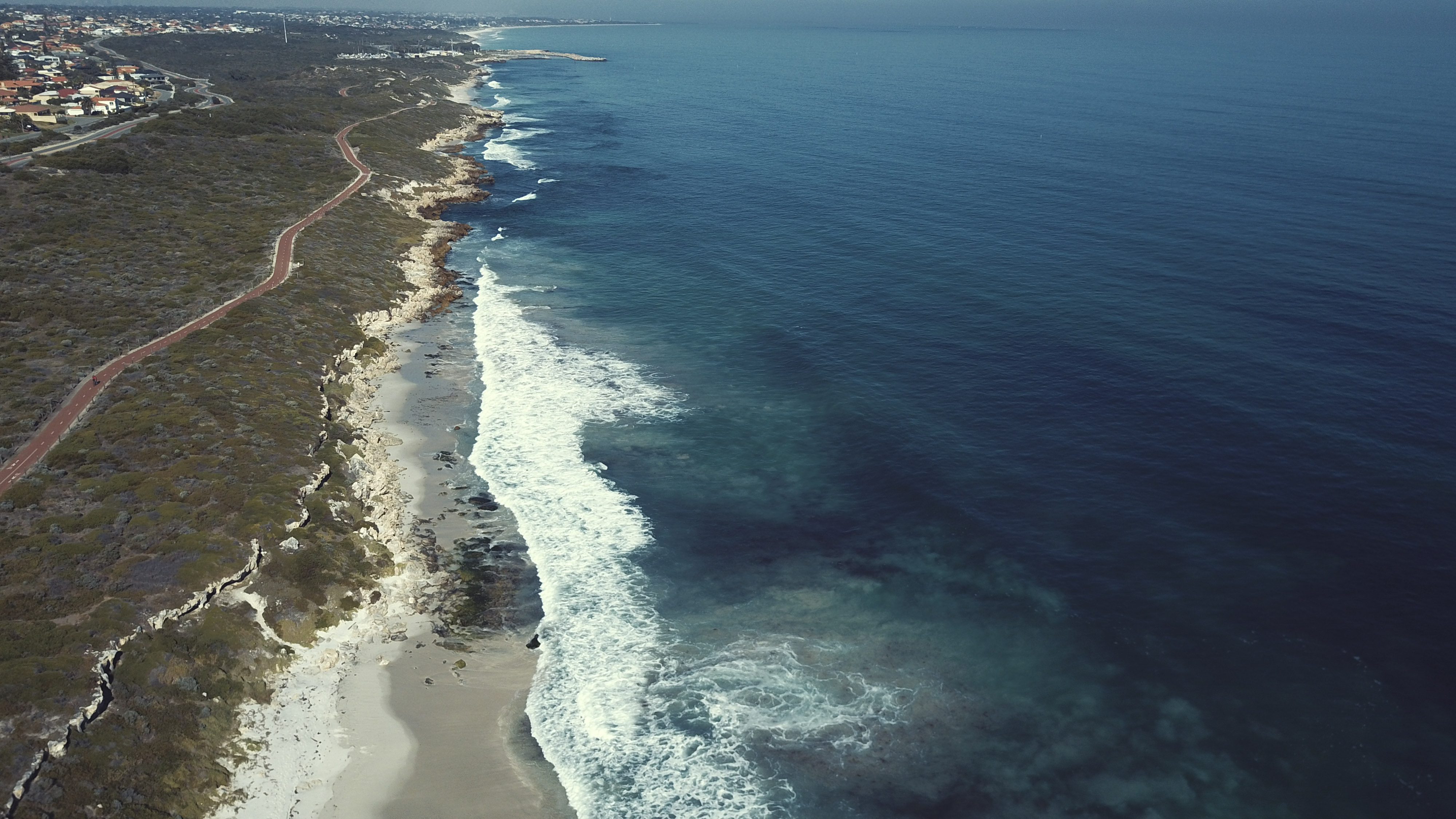
The City of Joondalup manages 17km of coastline from Marmion in the south to Burns Beach in the north. Erosion is likely to worsen in the future due to sea level rise and climate change impacts.
The City’s coastline is already affected in some places by erosion. Erosion happens when shorelines and dunes are broken down by waves and the sand and sediment are carried away. Erosion can be short term, or it can continue over long periods, causing coastlines and beaches to recede.
The City is developing a Coastal Hazard Risk Management and Adaptation Plan (CHRMAP) to identify areas at risk of coastal erosion and to outline how they will be managed or protected. Developing a CHRMAP is a state government requirement under State Planning Policy 2.6
Further information regarding the City’s coastal hazard management activities can be found on the Coastal management page
CHRMAP development and consultation
In 2023, the City of Joondalup developed a draft CHRMAP and released it for community consultation. Community consultation outcomes were presented to Council at the December 2023 meeting and Council resolved that the City would prepare a new draft CHRMAP with input from a CHRMAP Community Reference Group and increased community engagement as well as undertake research into alternative coastal adaptation options.
The City has since established a CHRMAP Community Reference Group to ensure the CHRMAP aligns with community values.
A new draft CHRMAP will be developed over the next three years, commencing in 2025.
The community will have opportunities for input on the new draft CHRMAP as it progresses.
To keep up to date with CHRMAP progress, subscribe to our email list.
CHRMAP Key milestones
- 2016 - Coastal Hazard Assessment - complete.
- 2018 – Coastal Infrastructure Adaptation Plan – complete.
- 2018 – Community coastal values survey – complete.
- 2022 – Consultants finalised draft technical CHRMAP - complete.
- 2023 – Consultants drafted community-facing CHRMAP which was released for community consultation - complete.
- 2023 – Council resolved for a new draft CHRMAP to be developed, with input from a community reference group, increased community engagement and research into alternative adaptation options - complete.
- 2025 – CHRMAP Community Reference Group established.
CHRMAP Community Reference Group meetings
The CHRMAP Community Reference Group includes 10 community representatives and five Elected Members. View the members
The CHRMAP Community Reference Group meet regularly to progress the development of a new draft CHRMAP for the City’s coastline.
Outcome reports from each of the CRG meetings
- 28 May 2025 - Induction meeting
- 26 June 2025 – Stakeholder Engagement and Communications meeting
- 12 November 2025 – Community Coastal Values meeting
- 18 March 2026 – Alternative Coastal Adaptation Options Research meeting
Keep up to date with coastal hazard planning projects
If you would like regular updates on coastal hazard planning projects, including CHRMAP progress, sign up to our eNewsletter
Submit a question
Do you have a CHRMAP related question? Use the online form below to send your question to the project team.